![]() Opportunities In Engineering and Technology
Opportunities In Engineering and Technology
This Erasmus Mundus-recognized Master of Science program prepares you to exploit new technologies to support environmental and societal decision-making affecting the future of our planet. Graduates are now working at companies and government agencies, studying in top PhD programs, and teaching in their home countries.
The international Master’s program (Master of Science, M.Sc.) in Geospatial Technologies is a cooperation of:
1. Westfälische Wilhelms-Universität Münster (WWU), Institute for Geoinformatics (ifgi), Münster, Germany.
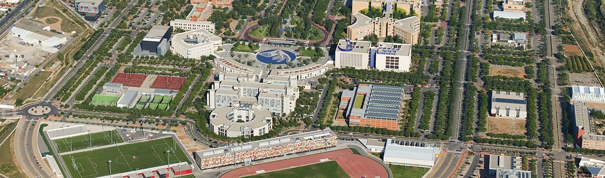
2. Universitat Jaume I (UJI), Castellón, Dept. Lenguajes y Sistemas Informaticos (LSI), Castellón, Spain.
3. Universidade Nova de Lisboa (UNL), Instituto Superior de Estatística e Gestão de Informação (ISEGI), Lisboa, Portugal.
The Master of Science in Geospatial Technologies qualifies for a professional career in the following domains:
- Private sector: GI applications and consulting in the domains of regional planning, landscape planning, financial services industry, energy providing industry, transportation, agriculture and forestry, and retailing/marketing;
- Research: Applied sciences at universities and…
Ver la entrada original 153 palabras más
